Overview
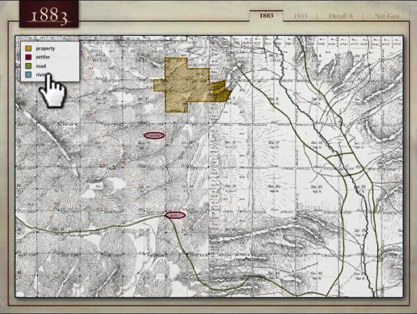
This complex demonstrative involved the need to show historical land ownership data and the ultimate effect that a proposed land easement would have on a property owner. The demonstrative included photo overlays, graphical aerial data, and interactive annotation capabilities.